RammSanderson was commissioned by Angus Meek Architects to carry out a site-specific flood risk assessment for the development of 169 new dwellings on the eastern fringe of Mansfield.
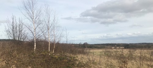
The development was located within Flood Zone 1, indicating it was positioned out of the flood plain and has an annual exceedance probability (AEP) of less than 0.1%. A detailed desk study was compiled detailing the past flood history, proximity to any nearby watercourses, changes to access and egress and potential impeding of existing surface water flow routes. A walkover survey was then completed, using the topography of the site as well as existing drainage infrastructure to inform design recommendations.
As all of the 5.6ha site was pre-developed greenfield, any introduction of hard surfaces had the potential to promote surface water runoff. As such, surface water calculations were performed to calculate the attenuation requirements. This was restricted to the greenfield runoff rate, as calculated by the IH124 Methodology. Due to the size of the site, this generated significant attenuation requirements, with over 2600m3 needed to be stored in a suitably designed SuDS “Train”.
A SuDS train was designed featuring multiple elements such as swales, infiltration basin and permeable paving. The large infiltration basin is proficient at removing pollutants from the run-off whilst also providing attenuation capacity. Furthermore, infiltration basins are able to provide amenity and habitat provision along-side the proposed swales. In this case, the swales were designed using manning’s equation divert water from the site, into the infiltration basin. Permeable paving measures were also suggested, as these are particularly recommended as a control system which is able to treat surface water at source. Specifically block paving was suggested with a sub-base depth able to attenuate water before discharging it appropriately off site. A detailed maintenance plan was also created, indicating how each system should be managed to ensure the best results.
Conclusion
RammSanderson produced a robust flood risk and drainage assessment for a 169-dwelling development on the outskirts of Mansfield. The report included detailed surface water calculations and subsequent SuDS train. Due to the development’s location in Flood Zone 1, the report was strongly aimed at ensuring the development did not exacerbate surface water flood risk.
RammSanderson has a team of experienced consultants ready to carry out Flood Risk and Drainage Surveys. Visit our Flood Risk page to learn more!